RAGS have been restoring ancient dewponds on the Mendip Hills since 2016 during which time 40 ponds have been restored either completely or partially.
Due to the permeable geology standing water is a rare commodity on the Mendips, therefore at the time of the Enclosure Act as land on the Mendips was enclosed, ponds had to be created to provide water for livestock.
During the eighteenth and nineteenth centuries around a thousand ponds are thought to have proliferated across the hills. However, with the advent of water troughs fed from mains water, these ponds became obsolete and many have been lost, either deliberately filled in or simply neglected to the point of dereliction.
These ponds provided important habitat for wildlife as well as providing an insight into the agricultural history of the hills, becoming something of a feature of the local landscape. They were exquisitely constructed from limestone, laid using lime mortar, and essentially follow one of three basic designs: circular ponds with a cross section that narrows downwards to create an ‘inverted cone’, square or rectangular ponds with solid retaining walls on three sides, the fourth side consisting of a cobbled ramp allowing access for livestock or rectangular ponds with solid retaining walls along the long edges and cobbled ramps allowing access at both ends. There are also a number of ponds exhibiting a range of variations on these basic themes.
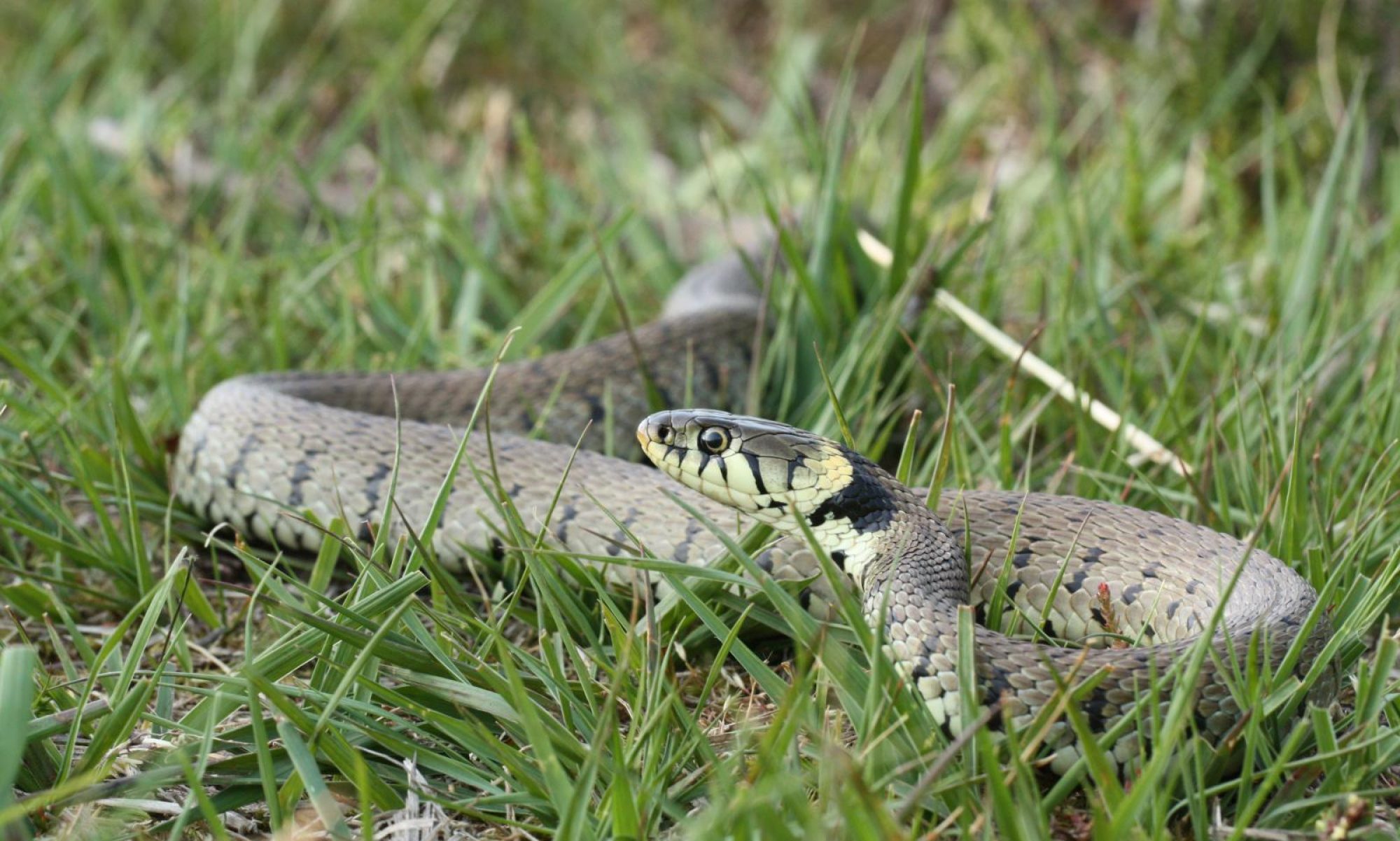
As valuable habitats for amphibians, particularly great crested newts, RAGS is committed to their restoration and preservation. With a determined effort by RAGS volunteers, all these ponds have been cleared of silt and debris. Then, where funding has been available, a complete repair of the stonework has been undertaken by Tina Bath or Dan Collins assisted by Green Mantle Ecosophy.
Funding for stonework repairs has been generously provided by the Heritage Lottery Fund and Somerset County Council via the Farming in Protected Landscapes Scheme, administered by the Mendip Hills AONB Unit, together with smaller grants from Wessex Water, Tesco ‘Bags for Life’ and ARG-UK.
This map showing the location and restored condition of each pond to date has been prepared by Peter Goldie using software developed by Alan Pucill, under OS developers licence, and can be zoomed in or out to mapping in formats associated with 1:25,000, 1:50,000 or 1:250,000 scales. Clicking on the map will display a grid reference for the location which can subsequently be hidden with a double click in the dialogue box.
Pond Map
Key
Yellow place-markers show ponds that have had stonework fully restored.
Red place-markers show ponds that have been dug out but have not yet had stonework repaired.
Green place-markers show ponds where work is still in progress.
Each pond has a label below it to indicate its form as follows:
C Circular
S Semi-circular
R1 Rectangular with one access slope
R2 Rectangular with two access slopes
T3 T-shaped with three access slopes
Ponds may be located at the intersection of two or more fields, allowing livestock access from each, with boundary walls running through the pond to prevent livestock mixing.